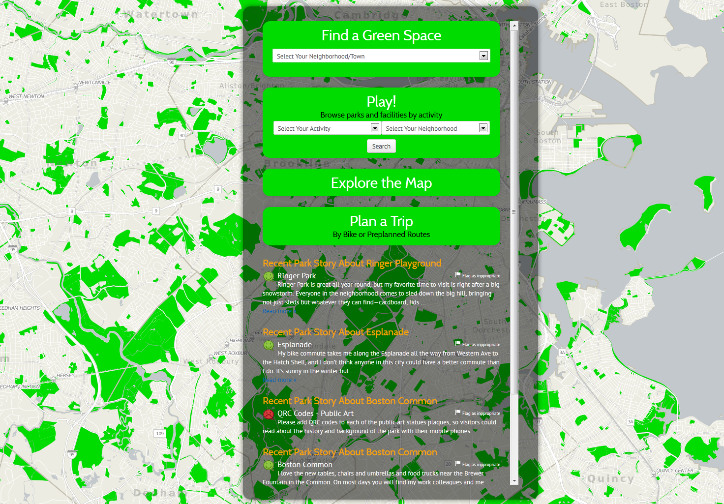
MAPC Data Services and Boston Park Advocates (BPA) executed an MOU for creation of an online map that will provide easy access to detailed and up-to-date information about Boston’s recreational outdoor facilities. The scope of the project includes aggregating and verifying publicly available green space data sets, amending the data with information from the Boston Parks department of the City of Boston and developing an interactive online map that will be published on BPA’s website.
In collaboration with Boston Parks Advocates, MAPC developed an interactive website for Boston area parks (website no longer maintained as of July 2016). Users can search for parks by activity and neighborhood, plan trips, and find biking and walking routes. After they have visited a park, users can share their experiences in the Park Stories section and report any problems with the park to the responsible department. So far, the site covers Boston, Cambridge, Somerville, Belmont, Brookline, Arlington, and Chelsea.
The Urban Waters project, funded by the US Forestry Service, will involve the collection, aggregation, and analysis open space and community garden information for Baltimore City. BNIA-JFI will use this information to create an indicator and interactive mapping website of community gardens in Baltimore City.
As part of the National Day of Civic Hacking, OpenDataSTL organized Build for STL, a weekend-long event which included a hackathon, training sessions, and the launch of the Code for America Brigade in Saint Louis. In addition, OpenDataSTL partnered with other local organizations who organized co-events, including a community garden project and an OpenStreetMap Editathon.
In Spring, 2014 the Dallas Police Department and The Trinity Trust, a local nonprofit, engaged the Institute for Urban Policy Research to assess community perceptions of safety in Dallas public parks and recreation spaces. Through a series of surveys, the public was asked to rate the importance of different quality of life factors based on recreational experiences.
In recent years, DataWorks staff have done mapping and responsive data projects for groups like the InterNeighborhood Council, Durham City Council, the Northeast Central Durham Leadership Council, Durham CAN, local journalists and researchers, as well as the Durham Open Space and Trails Commission (DOST). The latter, a citizen advisory group, has used maps prepared by DataWorks to know whether proposed pedestrian and bicycle trail routes would assist families without cars, and to understand the commuting patterns for people who live in the proposed trail areas.
(Inactive) Institute of Portland Metropolitan Studies (Portland)
January 2018
Image:
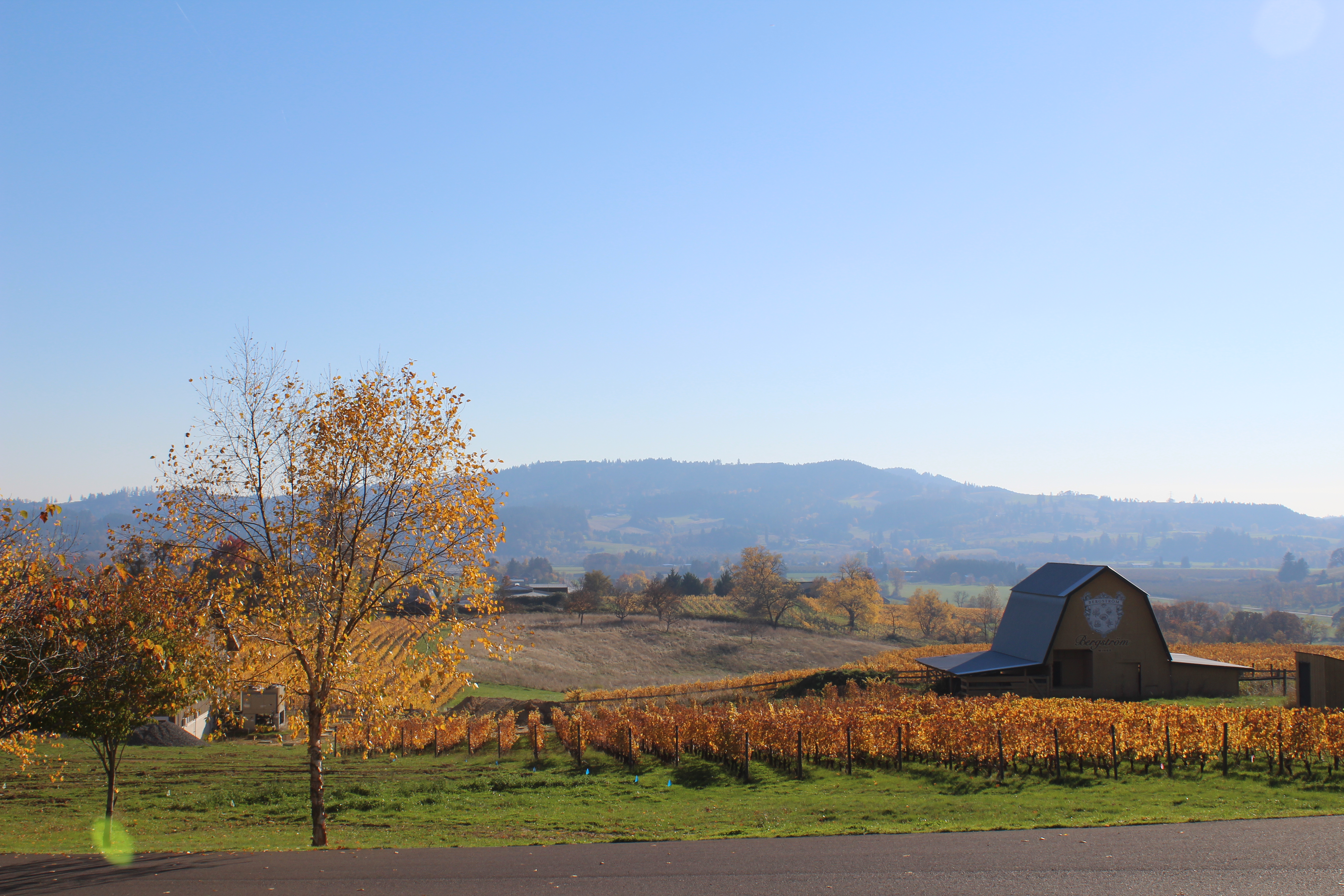
Metroscape’s Winter 2018 edition launched with a panel discussion on nonagricultural uses of Oregon farmland. View the video here!
This issue also includes stories on urban forestry, school redistricting, and a diverse Portland neighborhood working to improve livability without gentrification.